


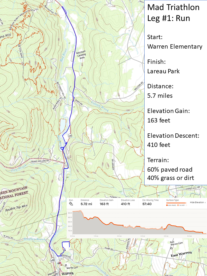
RUN
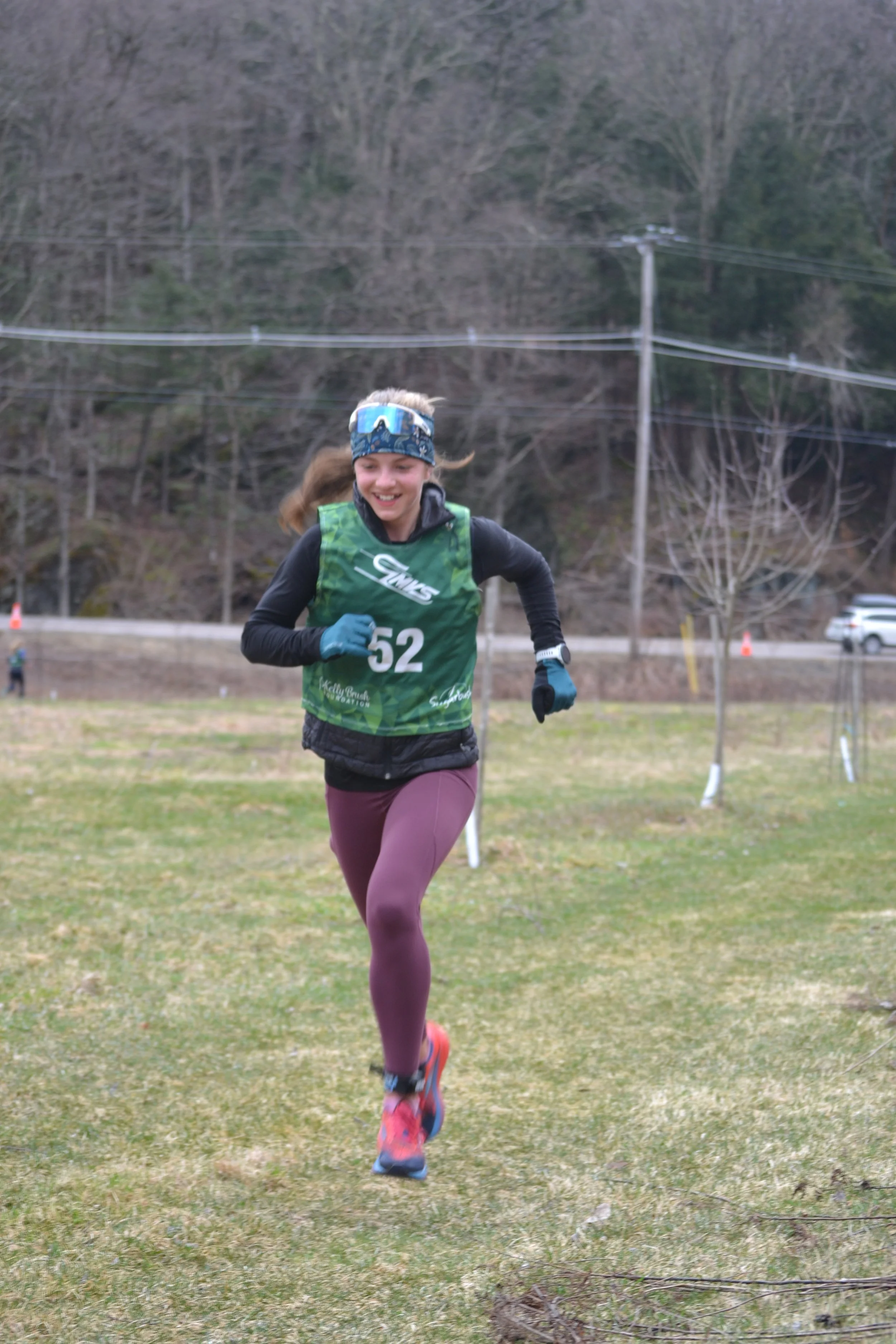
The run starts at Warren Elementary School Recreational Field and follows the Mad River Path down to Brook Rd and then to VT 100. Follow VT 100 to Riverside Park for the right turn to Kingsbury Greenway Path that follows along the river. Crossing the Kingsbury Bridge, follow the Kingsbury Farm Path, Yestermorrow Path, and Bundy Rd Connector, through the Waitsfield 10 to Kingsbury road, before rejoining with the VT 100 for the final stretch to the run-to-paddle transition at Lareau Farm Swimming Hole.
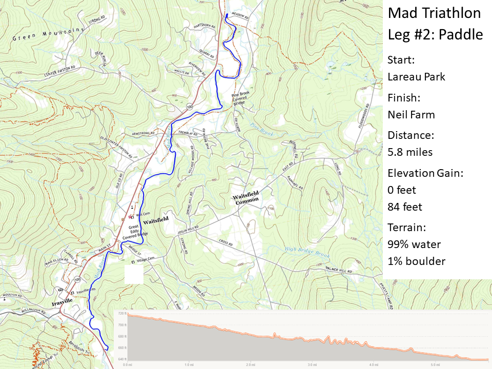
Paddle
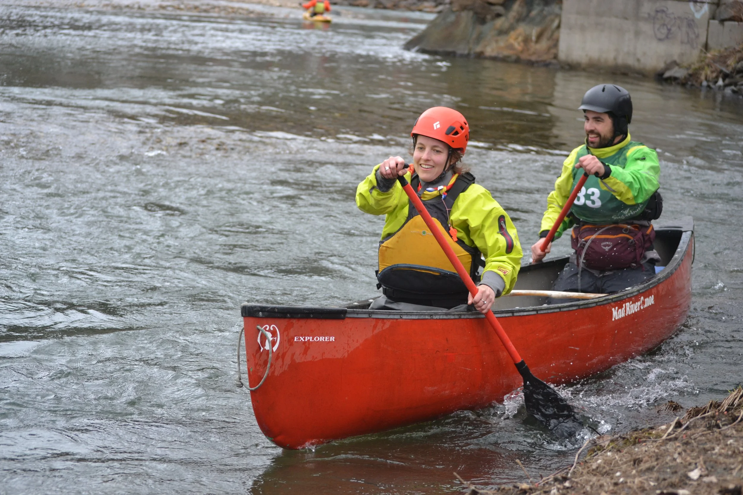
Transition to the paddling leg at Lareau Farm Swimming Hole. Follow the Mad River as it winds through forests and fields for 5.5 miles. The river is primarily quick water with a smattering of Class I rapids and a few sharp bends with boiling eddy lines at some water levels. A ledge at mile 5 creates a steeper tongue in the center, which can be avoided at higher water levels by taking the more straightforward line on the right. Take out on river right at Meadow Road. The water will be cold and everyone should be prepared for a swim! Paddlers should wear or carry appropriate paddling clothing: a synthetic warm layer and wind layer is a must. Wetsuits or dry tops/suits are recommended.

bike
Transition to biking on the farm field, across the dirt road from the river takeout. Follow Meadow Road to North Road and across the covered bridge to Waitsfield Common. At Waitsfield Common, turn right on Joslin Hill Road which turns into Bridge Street. After passing through the second covered bridge, turn left on Mad River Path. Follow the Path as it winds through Waitsfield and Irasville Villages until its intersection with VT-17 at the Welcome Center. Follow VT 17 up to German Flats Road for the final push to the base of Mount Ellen!
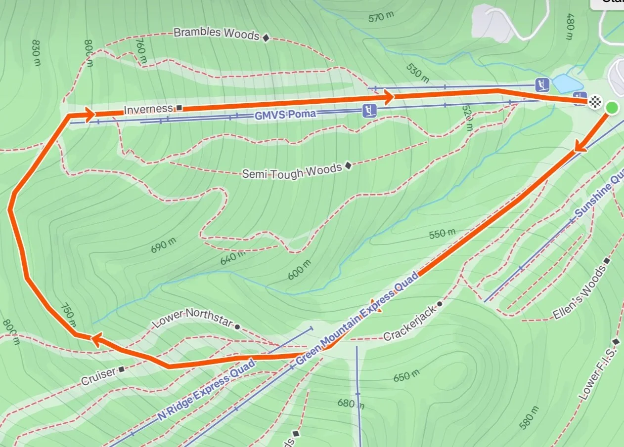
ski
The bike-to-ski transition area will be on the snow beside Mount Ellen Base Lodge. Ski or snowshoe up Green Mountain Express Quad, then up North Ridge Expressway. At the top of Inverness, transition to downhill and ski down the Inverness trail. Ski around the bottom of the Inverness lift. The finish line is in front of the base lodge. The course is 2.2 miles with 1117 feet of climbing and equal descent. There will be a time cut-off at the Northridge Quad, diverting skiers back the way they came after a certain time. The cut-off time will be announced a day or so before the event.
Course variations:
The race course will be fine-tuned to the trail, river and snow conditions on the day of the race.